 vesseltracker.com
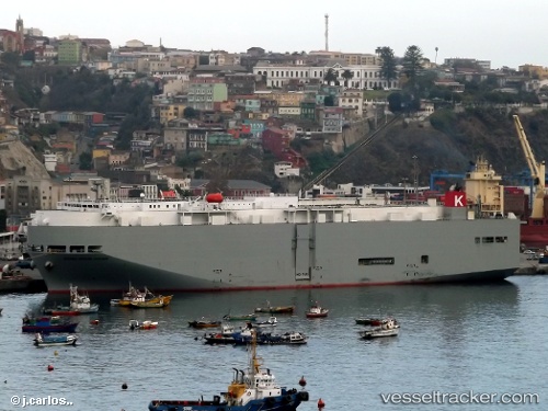
Vessel Sierra Nevada Hwy IMO: 9325439, MMSI: 372346000 Vehicles Carrier
UTC, 50.79005, -174.36311, course: 259, speed: 14.7
UTC, 50.79005, -174.36311, course: 259, speed: 14.7
2026-03-04 16:05:24 UTC, 50.79005, -174.36311, course: 259, speed: 14.7
Live Vessel Sierra Nevada Hwy Analytics (details, animations, etc.)
Live AIS position: UTC. 55 nm S of Mitchem), updated 2026-03-04 16:05:24 UTC.Find the position of the vessel Sierra Nevada Hwy on the map. The latter are known coordinates and path.
marine traffic ship tracker show on live map
The current position of vessel Sierra Nevada Hwy is 50.79005 lat / -174.36311 lng. Updated: 2026-03-04 16:05:24 UTCDetails:
Last coordinates of the vessel:
UTC, 50.91896, -173.35399, course: 260, speed: 14.9UTC, 50.79005, -174.36311, course: 259, speed: 14.7
UTC, 50.79005, -174.36311, course: 259, speed: 14.7
2026-03-04 16:05:24 UTC, 50.79005, -174.36311, course: 259, speed: 14.7