 vesseltracker.com
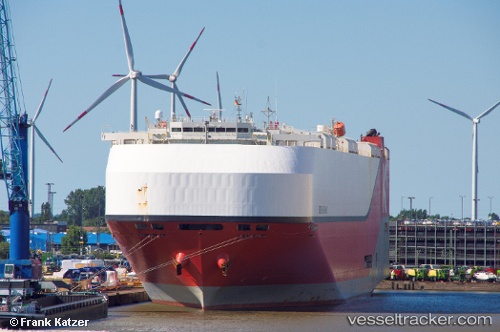
Vessel Orion Highway IMO: 9728071, MMSI: 374678000 Vehicles Carrier
UTC, 29.79302, 122.11728, course: 69, speed: 0
UTC, 29.79304, 122.11733, course: 69, speed: 0
2026-03-04 17:54:26 UTC, 29.79303, 122.11728, course: 68, speed: 0.1
Live Vessel Orion Highway Analytics (details, animations, etc.)
Live AIS position: UTC. 10 nm SE of Daxie Pt), updated 2026-03-04 17:54:26 UTC.Find the position of the vessel Orion Highway on the map. The latter are known coordinates and path.
marine traffic ship tracker show on live map
The current position of vessel Orion Highway is 29.79303 lat / 122.11728 lng. Updated: 2026-03-04 17:54:26 UTCCurrently sailing under the flag of Panama
Details:
Last coordinates of the vessel:
UTC, 29.79302, 122.11727, course: 69, speed: 0UTC, 29.79302, 122.11728, course: 69, speed: 0
UTC, 29.79304, 122.11733, course: 69, speed: 0
2026-03-04 17:54:26 UTC, 29.79303, 122.11728, course: 68, speed: 0.1