 vesseltracker.com
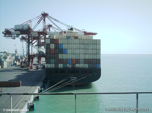
Vessel Basht IMO: 9346536, MMSI: 422032700 Container Ship
UTC, 25.56889, 57.40641, course: 293, speed: 18.1
UTC, 26.18737, 56.94904, course: -1, speed: 18.4
2026-03-04 23:26:55 UTC, 26.52339, 56.81798, course: -1, speed: 17.4
Live Vessel Basht Analytics (details, animations, etc.)
Live AIS position: UTC. 17 nm E of Quoin Island), updated 2026-03-04 23:26:55 UTC.Find the position of the vessel Basht on the map. The latter are known coordinates and path.
marine traffic ship tracker show on live map
The current position of vessel Basht is 26.52339 lat / 56.81798 lng. Updated: 2026-03-04 23:26:55 UTCCurrently sailing under the flag of Iran
Basht built in 2008 year
Deadweight:
66441 tDetails:
Last coordinates of the vessel:
UTC, 25.38744, 57.87217, course: 292, speed: 18.3UTC, 25.56889, 57.40641, course: 293, speed: 18.1
UTC, 26.18737, 56.94904, course: -1, speed: 18.4
2026-03-04 23:26:55 UTC, 26.52339, 56.81798, course: -1, speed: 17.4