 vesseltracker.com
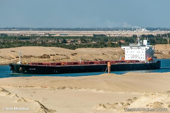
Vessel Artavand IMO: 9193214, MMSI: 422040800 Bulk Carrier
UTC, 29.00005, 48.31452, course: -1, speed: 0
UTC, 28.99981, 48.31413, course: -1, speed: 0
2026-03-05 07:26:31 UTC, 28.99935, 48.31380, course: -1, speed: 0
Live Vessel Artavand Analytics (details, animations, etc.)
Live AIS position: UTC. Near Mina Abd Allah), updated 2026-03-05 07:26:31 UTC.Find the position of the vessel Artavand on the map. The latter are known coordinates and path.
marine traffic ship tracker show on live map
The current position of vessel Artavand is 28.99935 lat / 48.31380 lng. Updated: 2026-03-05 07:26:31 UTCCurrently sailing under the flag of Iran
Artavand built in 2000 year
Deadweight:
72622 tDetails:
Last coordinates of the vessel:
UTC, 28.99812, 48.31820, course: -1, speed: 0UTC, 29.00005, 48.31452, course: -1, speed: 0
UTC, 28.99981, 48.31413, course: -1, speed: 0
2026-03-05 07:26:31 UTC, 28.99935, 48.31380, course: -1, speed: 0