 vesseltracker.com
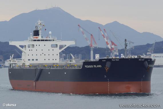
Vessel PEGASUS ISLAND IMO: 9820893, MMSI: 431036000 Bulk Carrier
UTC, -23.78136, 151.51160, course: 126, speed: 0.1
UTC, -23.78144, 151.51157, course: 122, speed: 0.3
2026-03-04 15:39:17 UTC, -23.78144, 151.51157, course: 122, speed: 0.3
Live Vessel PEGASUS ISLAND Analytics (details, animations, etc.)
Live AIS position: UTC. 13 nm NE of Boyne Island), updated 2026-03-04 15:39:17 UTC.Find the position of the vessel PEGASUS ISLAND on the map. The latter are known coordinates and path.
marine traffic ship tracker show on live map
The current position of vessel PEGASUS ISLAND is -23.78144 lat / 151.51157 lng. Updated: 2026-03-04 15:39:17 UTCCurrently sailing under the flag of Japan
PEGASUS ISLAND built in 2018 year
Deadweight:
88876 tDetails:
Last coordinates of the vessel:
UTC, -23.78066, 151.51282, course: 154, speed: 0.5UTC, -23.78136, 151.51160, course: 126, speed: 0.1
UTC, -23.78144, 151.51157, course: 122, speed: 0.3
2026-03-04 15:39:17 UTC, -23.78144, 151.51157, course: 122, speed: 0.3