 vesseltracker.com
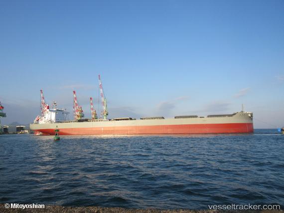
Vessel Miyagawa Maru IMO: 9839040, MMSI: 431049000 Bulk Carrier
UTC, -7.09080, 153.83006, course: 349, speed: 11.4
UTC, -7.09080, 153.83006, course: 349, speed: 11.4
2026-03-04 22:16:39 UTC, -5.24395, 153.53394, course: 349, speed: 10.9
Live Vessel Miyagawa Maru Analytics (details, animations, etc.)
Live AIS position: UTC. 50 nm SE of Lambom Island), updated 2026-03-04 22:16:39 UTC.Find the position of the vessel Miyagawa Maru on the map. The latter are known coordinates and path.
marine traffic ship tracker show on live map
The current position of vessel Miyagawa Maru is -5.24395 lat / 153.53394 lng. Updated: 2026-03-04 22:16:39 UTCCurrently sailing under the flag of Japan
Details:
Last coordinates of the vessel:
UTC, -7.09080, 153.83006, course: 349, speed: 11.4UTC, -7.09080, 153.83006, course: 349, speed: 11.4
UTC, -7.09080, 153.83006, course: 349, speed: 11.4
2026-03-04 22:16:39 UTC, -5.24395, 153.53394, course: 349, speed: 10.9