 vesseltracker.com
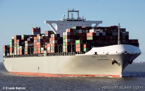
Vessel Mackinac Bridge IMO: 9689603, MMSI: 431241000 Container Ship
UTC, 40.67098, -74.07994, course: 300, speed: 0.1
UTC, 40.67098, -74.07994, course: 300, speed: 0
2026-03-04 22:03:07 UTC, 40.67098, -74.07995, course: 300, speed: 0.1
Live Vessel Mackinac Bridge Analytics (details, animations, etc.)
Live AIS position: UTC. Near Port Newark), updated 2026-03-04 22:03:07 UTC.Find the position of the vessel Mackinac Bridge on the map. The latter are known coordinates and path.
marine traffic ship tracker show on live map
The current position of vessel Mackinac Bridge is 40.67098 lat / -74.07995 lng. Updated: 2026-03-04 22:03:07 UTCCurrently sailing under the flag of Japan
Details:
Last coordinates of the vessel:
UTC, 40.67095, -74.07992, course: 300, speed: 0UTC, 40.67098, -74.07994, course: 300, speed: 0.1
UTC, 40.67098, -74.07994, course: 300, speed: 0
2026-03-04 22:03:07 UTC, 40.67098, -74.07995, course: 300, speed: 0.1