 vesseltracker.com
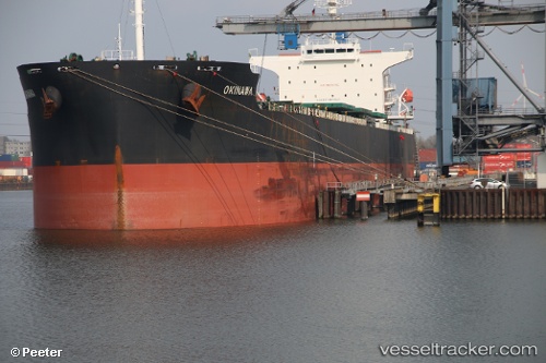
Vessel Okinawa IMO: 8622270, MMSI: 431701000 Patrol Vessel
UTC, 26.22984, 127.62282, course: 61, speed: 10
UTC, 26.20667, 127.66833, course: -1, speed: 0
UTC, 26.20667, 127.66833, course: -1, speed: 0
2026-03-04 09:06:30 UTC, 26.20667, 127.66833, course: -1, speed: 0
Live Vessel Okinawa Analytics (details, animations, etc.)
Live AIS position: UTC. Near Naha), updated 2026-03-04 09:06:30 UTC.Find the position of the vessel Okinawa on the map. The latter are known coordinates and path.
marine traffic ship tracker show on live map
The current position of vessel Okinawa is 26.20667 lat / 127.66833 lng. Updated: 2026-03-04 09:06:30 UTCDetails:
Last coordinates of the vessel:
UTC, 26.22898, 127.64422, course: 339, speed: 6.6UTC, 26.22984, 127.62282, course: 61, speed: 10
UTC, 26.20667, 127.66833, course: -1, speed: 0
UTC, 26.20667, 127.66833, course: -1, speed: 0
2026-03-04 09:06:30 UTC, 26.20667, 127.66833, course: -1, speed: 0