 vesseltracker.com
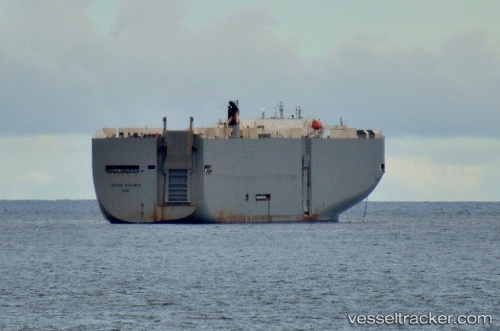
Vessel Texas Highway IMO: 9272890, MMSI: 432440000 Vehicles Carrier
UTC, 46.62407, -126.00431, course: 186, speed: 2.5
UTC, 46.35381, -124.91596, course: 111, speed: 13.2
2026-03-05 00:00:18 UTC, 46.21046, -124.22968, course: 89, speed: 13.6
Live Vessel Texas Highway Analytics (details, animations, etc.)
Live AIS position: UTC. 10 nm SW of Ilwaco), updated 2026-03-05 00:00:18 UTC.Find the position of the vessel Texas Highway on the map. The latter are known coordinates and path.
marine traffic ship tracker show on live map
The current position of vessel Texas Highway is 46.21046 lat / -124.22968 lng. Updated: 2026-03-05 00:00:18 UTCCurrently sailing under the flag of Japan
Texas Highway built in 2003 year
Deadweight:
17481 tDetails:
Last coordinates of the vessel:
UTC, 46.62407, -126.00431, course: 186, speed: 2.5UTC, 46.62407, -126.00431, course: 186, speed: 2.5
UTC, 46.35381, -124.91596, course: 111, speed: 13.2
2026-03-05 00:00:18 UTC, 46.21046, -124.22968, course: 89, speed: 13.6