 vesseltracker.com
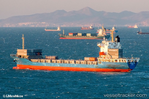
Vessel Nagoya Trader IMO: 9517628, MMSI: 440516000 Container Ship
UTC, 37.54207, 124.22087, course: 305, speed: 16.2
UTC, 37.74547, 123.65327, course: 300, speed: 12.7
2026-03-05 03:26:01 UTC, 37.87958, 123.39190, course: 303, speed: 12.4
Live Vessel Nagoya Trader Analytics (details, animations, etc.)
Live AIS position: UTC. 45 nm NE of Longyan Pt), updated 2026-03-05 03:26:01 UTC.Find the position of the vessel Nagoya Trader on the map. The latter are known coordinates and path.
marine traffic ship tracker show on live map
The current position of vessel Nagoya Trader is 37.87958 lat / 123.39190 lng. Updated: 2026-03-05 03:26:01 UTCCurrently sailing under the flag of Korea
Nagoya Trader built in 2009 year
Deadweight:
12550 tDetails:
Last coordinates of the vessel:
UTC, 36.89039, 125.11603, course: -1, speed: 16.7UTC, 37.54207, 124.22087, course: 305, speed: 16.2
UTC, 37.74547, 123.65327, course: 300, speed: 12.7
2026-03-05 03:26:01 UTC, 37.87958, 123.39190, course: 303, speed: 12.4