 vesseltracker.com
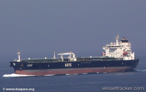
Vessel Al Salam Ii IMO: 9328168, MMSI: 447158000 Oil Products Tanker
UTC, 25.34604, 55.07973, course: 273, speed: 0
UTC, 25.34558, 55.07977, course: -1, speed: 0.1
2026-03-05 07:45:19 UTC, 25.34399, 55.07906, course: -1, speed: 0
Live Vessel Al Salam Ii Analytics (details, animations, etc.)
Live AIS position: UTC. 11 nm NW of Free Port), updated 2026-03-05 07:45:19 UTC.Find the position of the vessel Al Salam Ii on the map. The latter are known coordinates and path.
marine traffic ship tracker show on live map
The current position of vessel Al Salam Ii is 25.34399 lat / 55.07906 lng. Updated: 2026-03-05 07:45:19 UTCCurrently sailing under the flag of Kuwait
Details:
Last coordinates of the vessel:
UTC, 25.34578, 55.07962, course: -1, speed: 0.1UTC, 25.34604, 55.07973, course: 273, speed: 0
UTC, 25.34558, 55.07977, course: -1, speed: 0.1
2026-03-05 07:45:19 UTC, 25.34399, 55.07906, course: -1, speed: 0