 vesseltracker.com
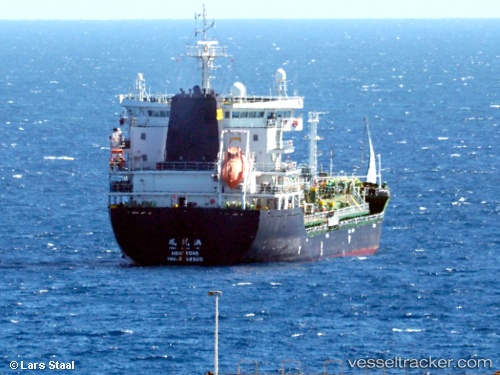
Vessel Amber Bay IMO: 9764520, MMSI: 477900100 Bulk Carrier
UTC, 18.38651, -70.00393, course: 56, speed: 2.7
UTC, 18.40977, -70.01718, course: 350, speed: 5.2
2026-03-04 17:40:11 UTC, 18.40977, -70.01718, course: 350, speed: 5.2
Live Vessel Amber Bay Analytics (details, animations, etc.)
Live AIS position: UTC. Near Rio Haina), updated 2026-03-04 17:40:11 UTC.Find the position of the vessel Amber Bay on the map. The latter are known coordinates and path.
marine traffic ship tracker show on live map
The current position of vessel Amber Bay is 18.40977 lat / -70.01718 lng. Updated: 2026-03-04 17:40:11 UTCDetails:
Last coordinates of the vessel:
UTC, 18.38043, -70.00159, course: 44, speed: 1.8UTC, 18.38651, -70.00393, course: 56, speed: 2.7
UTC, 18.40977, -70.01718, course: 350, speed: 5.2
2026-03-04 17:40:11 UTC, 18.40977, -70.01718, course: 350, speed: 5.2