 vesseltracker.com
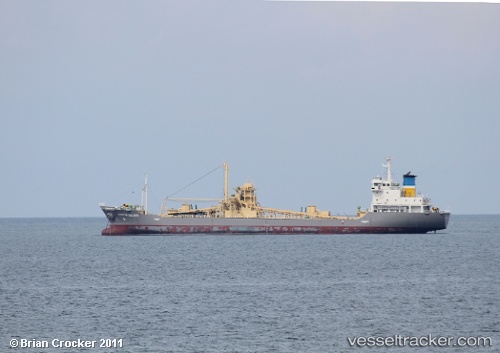
Vessel Martha Golden IMO: 9118898, MMSI: 525012106 Cement Carrier
UTC, 1.88333, 97.18833, course: -1, speed: 9
UTC, 2.11667, 96.97500, course: -1, speed: 9
2026-03-05 10:47:54 UTC, 2.23667, 96.91833, course: -1, speed: 8
Live Vessel Martha Golden Analytics (details, animations, etc.)
Live AIS position: UTC. 78 nm NW of Pulau Nias), updated 2026-03-05 10:47:54 UTC.Find the position of the vessel Martha Golden on the map. The latter are known coordinates and path.
marine traffic ship tracker show on live map
The current position of vessel Martha Golden is 2.23667 lat / 96.91833 lng. Updated: 2026-03-05 10:47:54 UTCDetails:
Last coordinates of the vessel:
UTC, 1.66333, 97.41500, course: -1, speed: 9UTC, 1.88333, 97.18833, course: -1, speed: 9
UTC, 2.11667, 96.97500, course: -1, speed: 9
2026-03-05 10:47:54 UTC, 2.23667, 96.91833, course: -1, speed: 8