 vesseltracker.com
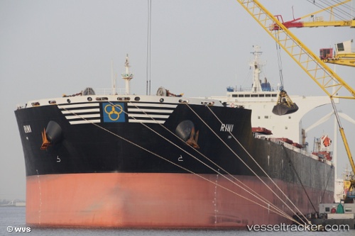
Vessel Rini IMO: 9411006, MMSI: 538003920 Bulk Carrier
UTC, -30.90878, 37.22898, course: 250, speed: 12.6
UTC, -31.15555, 36.53173, course: 252, speed: 12.6
2026-03-04 22:22:07 UTC, -31.15555, 36.53173, course: 252, speed: 12.6
Live Vessel Rini Analytics (details, animations, etc.)
Live AIS position: UTC. 267 nm SE of Richards Bay), updated 2026-03-04 22:22:07 UTC.Find the position of the vessel Rini on the map. The latter are known coordinates and path.
marine traffic ship tracker show on live map
The current position of vessel Rini is -31.15555 lat / 36.53173 lng. Updated: 2026-03-04 22:22:07 UTCDetails:
Last coordinates of the vessel:
UTC, -30.90878, 37.22898, course: 250, speed: 12.6UTC, -30.90878, 37.22898, course: 250, speed: 12.6
UTC, -31.15555, 36.53173, course: 252, speed: 12.6
2026-03-04 22:22:07 UTC, -31.15555, 36.53173, course: 252, speed: 12.6