 vesseltracker.com
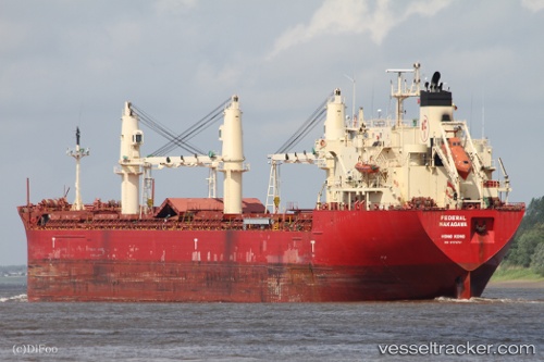
Vessel Federal Nakagawa IMO: 9278791, MMSI: 538006782 Bulk Carrier
UTC, 37.66257, 2.75948, course: -1, speed: 9.8
UTC, 37.57199, 2.37453, course: -1, speed: 9.3
2026-03-04 21:55:25 UTC, 37.42835, 1.92504, course: 255, speed: 9.6
Live Vessel Federal Nakagawa Analytics (details, animations, etc.)
Live AIS position: UTC. 15 nm NW of Albanchez), updated 2026-03-04 21:55:25 UTC.Find the position of the vessel Federal Nakagawa on the map. The latter are known coordinates and path.
marine traffic ship tracker show on live map
The current position of vessel Federal Nakagawa is 37.42835 lat / 1.92504 lng. Updated: 2026-03-04 21:55:25 UTCDetails:
Last coordinates of the vessel:
UTC, 37.66196, 2.94634, course: -1, speed: 9.6UTC, 37.66257, 2.75948, course: -1, speed: 9.8
UTC, 37.57199, 2.37453, course: -1, speed: 9.3
2026-03-04 21:55:25 UTC, 37.42835, 1.92504, course: 255, speed: 9.6