 vesseltracker.com
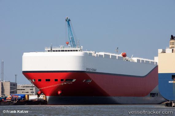
Vessel Sirius Highway IMO: 9757981, MMSI: 538007517 Vehicles Carrier
UTC, 17.04617, 116.84384, course: 44, speed: 10.9
UTC, 17.35167, 117.14167, course: -1, speed: 11
2026-03-06 07:38:32 UTC, 17.60500, 117.38833, course: -1, speed: 11
Live Vessel Sirius Highway Analytics (details, animations, etc.)
Live AIS position: UTC. 161 nm NW of Bolinao), updated 2026-03-06 07:38:32 UTC.Find the position of the vessel Sirius Highway on the map. The latter are known coordinates and path.
marine traffic ship tracker show on live map
The current position of vessel Sirius Highway is 17.60500 lat / 117.38833 lng. Updated: 2026-03-06 07:38:32 UTCCurrently sailing under the flag of Marshall Is
Details:
Last coordinates of the vessel:
UTC, 16.82424, 116.63866, course: 44, speed: 10.5UTC, 17.04617, 116.84384, course: 44, speed: 10.9
UTC, 17.35167, 117.14167, course: -1, speed: 11
2026-03-06 07:38:32 UTC, 17.60500, 117.38833, course: -1, speed: 11