 vesseltracker.com
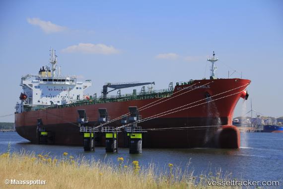
Vessel Atlantic Marble IMO: 9798959, MMSI: 538007896 Chemical Oil Products Tanker
UTC, 13.92386, -90.79443, course: -1, speed: 0
UTC, 13.92382, -90.79445, course: 91, speed: 0
2026-03-05 03:58:19 UTC, 13.92333, -90.79333, course: -1, speed: 0
Live Vessel Atlantic Marble Analytics (details, animations, etc.)
Live AIS position: UTC. Near Puerto San José), updated 2026-03-05 03:58:19 UTC.Find the position of the vessel Atlantic Marble on the map. The latter are known coordinates and path.
marine traffic ship tracker show on live map
The current position of vessel Atlantic Marble is 13.92333 lat / -90.79333 lng. Updated: 2026-03-05 03:58:19 UTCCurrently sailing under the flag of Marshall Is
Details:
Last coordinates of the vessel:
UTC, 13.92333, -90.79333, course: -1, speed: 0UTC, 13.92386, -90.79443, course: -1, speed: 0
UTC, 13.92382, -90.79445, course: 91, speed: 0
2026-03-05 03:58:19 UTC, 13.92333, -90.79333, course: -1, speed: 0