 vesseltracker.com
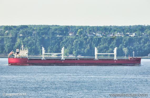
Vessel Federal Dee IMO: 9805269, MMSI: 538008006 Bulk Carrier
UTC, 11.54264, -37.96011, course: 219, speed: 14
UTC, 10.47606, -38.86806, course: 218, speed: 14.1
2026-03-04 23:24:34 UTC, 10.25108, -39.05903, course: 218, speed: 13.4
Live Vessel Federal Dee Analytics (details, animations, etc.)
Live AIS position: UTC. 258 nm NW of Parelhas), updated 2026-03-04 23:24:34 UTC.Find the position of the vessel Federal Dee on the map. The latter are known coordinates and path.
marine traffic ship tracker show on live map
The current position of vessel Federal Dee is 10.25108 lat / -39.05903 lng. Updated: 2026-03-04 23:24:34 UTCDetails:
Last coordinates of the vessel:
UTC, 11.54264, -37.96011, course: 219, speed: 14UTC, 11.54264, -37.96011, course: 219, speed: 14
UTC, 10.47606, -38.86806, course: 218, speed: 14.1
2026-03-04 23:24:34 UTC, 10.25108, -39.05903, course: 218, speed: 13.4