 vesseltracker.com
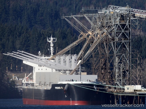
Vessel PRONOI R IMO: 9602746, MMSI: 538009682 Bulk Carrier
UTC, -40.09182, -59.76693, course: 117, speed: 11.7
UTC, -40.21670, -59.49052, course: 119, speed: 11.8
2026-02-23 00:21:44 UTC, -40.45500, -58.91167, course: -1, speed: 12
Live AIS position:
UTC. 113 nm S of Quequen),
updated 2026-02-23 00:21:44 UTC.
Find the position of the vessel PRONOI R on the map. The latter are known coordinates and path.
marine traffic ship tracker show on live map
The current position of vessel PRONOI R is -40.45500 lat / -58.91167 lng. Updated: 2026-02-23 00:21:44 UTCCurrently sailing under the flag of Marshall Islands
Details:
Last coordinates of the vessel:
UTC, -39.86531, -60.33245, course: 117, speed: 11.5UTC, -40.09182, -59.76693, course: 117, speed: 11.7
UTC, -40.21670, -59.49052, course: 119, speed: 11.8
2026-02-23 00:21:44 UTC, -40.45500, -58.91167, course: -1, speed: 12