 vesseltracker.com
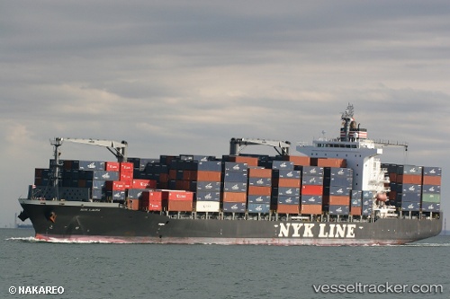
Vessel NYK LAURA IMO: 9406752, MMSI: 538009707 Container Ship
UTC, 12.48167, -87.16667, course: -1, speed: 0
UTC, 12.38333, -87.21500, course: -1, speed: 12
2026-03-05 03:38:42 UTC, 12.05833, -87.05500, course: -1, speed: 12
Live Vessel NYK LAURA Analytics (details, animations, etc.)
Live AIS position: UTC. 15 nm W of Puerto Sandino), updated 2026-03-05 03:38:42 UTC.Find the position of the vessel NYK LAURA on the map. The latter are known coordinates and path.
marine traffic ship tracker show on live map
The current position of vessel NYK LAURA is 12.05833 lat / -87.05500 lng. Updated: 2026-03-05 03:38:42 UTCCurrently sailing under the flag of Marshall Islands
NYK LAURA built in 2009 year
Deadweight:
34576 tDetails:
Last coordinates of the vessel:
UTC, 12.48167, -87.16667, course: -1, speed: 0UTC, 12.48167, -87.16667, course: -1, speed: 0
UTC, 12.38333, -87.21500, course: -1, speed: 12
2026-03-05 03:38:42 UTC, 12.05833, -87.05500, course: -1, speed: 12