 vesseltracker.com
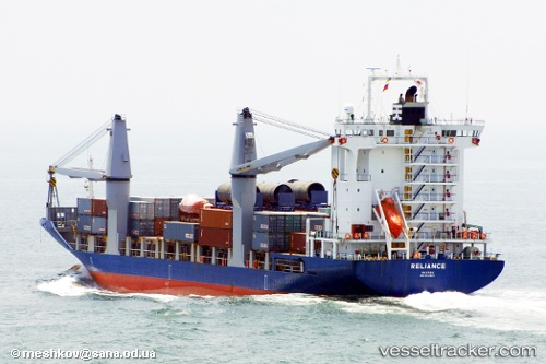
Vessel OCEAN PEACE IMO: 9214927, MMSI: 548007900 Container Ship
UTC, 14.60791, 120.95909, course: 268, speed: 0
UTC, 14.60790, 120.95913, course: 268, speed: 0
2026-02-23 15:54:06 UTC, 14.60791, 120.95912, course: 268, speed: 0
Live AIS position:
UTC. Near Binondo),
updated 2026-02-23 15:54:06 UTC.
Find the position of the vessel OCEAN PEACE on the map. The latter are known coordinates and path.
marine traffic ship tracker show on live map
The current position of vessel OCEAN PEACE is 14.60791 lat / 120.95912 lng. Updated: 2026-02-23 15:54:06 UTCCurrently sailing under the flag of Philippines
Details:
Last coordinates of the vessel:
UTC, 14.60787, 120.95910, course: 268, speed: 0UTC, 14.60791, 120.95909, course: 268, speed: 0
UTC, 14.60790, 120.95913, course: 268, speed: 0
2026-02-23 15:54:06 UTC, 14.60791, 120.95912, course: 268, speed: 0