 vesseltracker.com
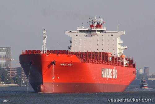
Vessel Monte Rosa IMO: 9283215, MMSI: 563051400 Container Ship
UTC, 12.94688, -75.25866, course: 57, speed: 16.1
UTC, 12.94688, -75.25866, course: 57, speed: 16.1
2026-03-04 15:45:47 UTC, 12.94688, -75.25866, course: 57, speed: 16.1
Live Vessel Monte Rosa Analytics (details, animations, etc.)
Live AIS position: UTC. 117 nm NE of Lince), updated 2026-03-04 15:45:47 UTC.Find the position of the vessel Monte Rosa on the map. The latter are known coordinates and path.
marine traffic ship tracker show on live map
The current position of vessel Monte Rosa is 12.94688 lat / -75.25866 lng. Updated: 2026-03-04 15:45:47 UTCDetails:
Last coordinates of the vessel:
UTC, 12.63070, -75.69393, course: 56, speed: 16UTC, 12.94688, -75.25866, course: 57, speed: 16.1
UTC, 12.94688, -75.25866, course: 57, speed: 16.1
2026-03-04 15:45:47 UTC, 12.94688, -75.25866, course: 57, speed: 16.1