 vesseltracker.com
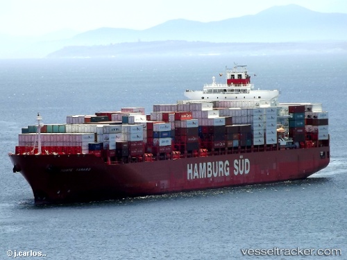
Vessel Monte Tamaro IMO: 9357949, MMSI: 563052100 Container Ship
UTC, 18.05291, -75.17862, course: -1, speed: 14.1
UTC, 18.05291, -75.17862, course: -1, speed: 14.1
2026-03-04 16:12:03 UTC, 18.05291, -75.17862, course: -1, speed: 14.1
Live Vessel Monte Tamaro Analytics (details, animations, etc.)
Live AIS position: UTC. 65 nm W of Poty), updated 2026-03-04 16:12:03 UTC.Find the position of the vessel Monte Tamaro on the map. The latter are known coordinates and path.
marine traffic ship tracker show on live map
The current position of vessel Monte Tamaro is 18.05291 lat / -75.17862 lng. Updated: 2026-03-04 16:12:03 UTCCurrently sailing under the flag of Singapore
Monte Tamaro built in 2007 year
Deadweight:
64800 tDetails:
Last coordinates of the vessel:
UTC, 18.56333, -74.81833, course: -1, speed: 15UTC, 18.05291, -75.17862, course: -1, speed: 14.1
UTC, 18.05291, -75.17862, course: -1, speed: 14.1
2026-03-04 16:12:03 UTC, 18.05291, -75.17862, course: -1, speed: 14.1