 vesseltracker.com
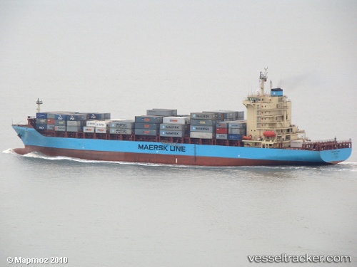
Vessel Maersk Visby IMO: 9411367, MMSI: 564979000 Container Ship
UTC, 31.98342, 123.42669, course: 14, speed: 11.3
UTC, 32.36268, 123.61419, course: 20, speed: 9.6
2026-03-04 21:33:23 UTC, 32.54732, 123.69835, course: 17, speed: 8.9
Live Vessel Maersk Visby Analytics (details, animations, etc.)
Live AIS position: UTC. 110 nm E of Lusi), updated 2026-03-04 21:33:23 UTC.Find the position of the vessel Maersk Visby on the map. The latter are known coordinates and path.
marine traffic ship tracker show on live map
The current position of vessel Maersk Visby is 32.54732 lat / 123.69835 lng. Updated: 2026-03-04 21:33:23 UTCCurrently sailing under the flag of Singapore
Maersk Visby built in 2010 year
Deadweight:
26036 tDetails:
Last coordinates of the vessel:
UTC, 31.66896, 123.19189, course: 42, speed: 11.7UTC, 31.98342, 123.42669, course: 14, speed: 11.3
UTC, 32.36268, 123.61419, course: 20, speed: 9.6
2026-03-04 21:33:23 UTC, 32.54732, 123.69835, course: 17, speed: 8.9