 vesseltracker.com
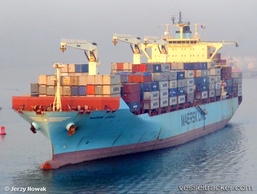
Vessel Maersk Cadiz IMO: 9526459, MMSI: 566755000 Container Ship
UTC, -33.41687, 29.93346, course: 68, speed: 9
UTC, -33.17130, 30.50367, course: 62, speed: 15.2
2026-03-05 15:45:48 UTC, -32.96906, 30.95118, course: 64, speed: 15.1
Live Vessel Maersk Cadiz Analytics (details, animations, etc.)
Live AIS position: UTC. 108 nm SE of Port Saint John's), updated 2026-03-05 15:45:48 UTC.Find the position of the vessel Maersk Cadiz on the map. The latter are known coordinates and path.
marine traffic ship tracker show on live map
The current position of vessel Maersk Cadiz is -32.96906 lat / 30.95118 lng. Updated: 2026-03-05 15:45:48 UTCDetails:
Last coordinates of the vessel:
UTC, -33.42521, 29.91520, course: 62, speed: 4.2UTC, -33.41687, 29.93346, course: 68, speed: 9
UTC, -33.17130, 30.50367, course: 62, speed: 15.2
2026-03-05 15:45:48 UTC, -32.96906, 30.95118, course: 64, speed: 15.1