 vesseltracker.com
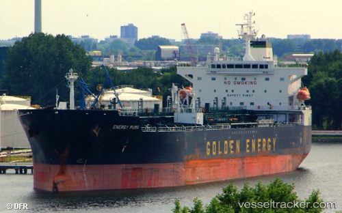
Vessel MANASLU IMO: 9388027, MMSI: 632001152 Oil/Chemical Tanker
UTC, 31.13767, 29.80960, course: 359, speed: 0
UTC, 31.13768, 29.80958, course: 359, speed: 0
2026-02-27 01:26:17 UTC, 31.13765, 29.80955, course: 359, speed: 0
Live AIS position:
UTC. Near EL DEKHEILA),
updated 2026-02-27 01:26:17 UTC.
Find the position of the vessel MANASLU on the map. The latter are known coordinates and path.
marine traffic ship tracker show on live map
The current position of vessel MANASLU is 31.13765 lat / 29.80955 lng. Updated: 2026-02-27 01:26:17 UTCCurrently sailing under the flag of Guinea-Bissau
Details:
Last coordinates of the vessel:
UTC, 31.13775, 29.80957, course: 359, speed: 0UTC, 31.13767, 29.80960, course: 359, speed: 0
UTC, 31.13768, 29.80958, course: 359, speed: 0
2026-02-27 01:26:17 UTC, 31.13765, 29.80955, course: 359, speed: 0