 vesseltracker.com
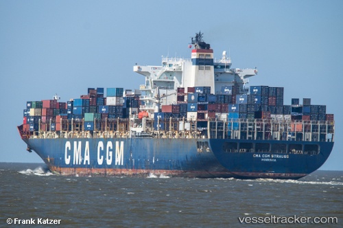
Vessel GSL CHRISTEL ELISABETH IMO: 9280641, MMSI: 636015685 Container Ship
UTC, 38.20014, -72.98143, course: 64, speed: 12
UTC, 38.83833, -71.54500, course: -1, speed: 12
2026-03-04 23:54:35 UTC, 39.03167, -71.10333, course: -1, speed: 13
Live Vessel GSL CHRISTEL ELISABETH Analytics (details, animations, etc.)
Live AIS position: UTC. 81 nm SE of Offshore Ambrose), updated 2026-03-04 23:54:35 UTC.Find the position of the vessel GSL CHRISTEL ELISABETH on the map. The latter are known coordinates and path.
marine traffic ship tracker show on live map
The current position of vessel GSL CHRISTEL ELISABETH is 39.03167 lat / -71.10333 lng. Updated: 2026-03-04 23:54:35 UTCCurrently sailing under the flag of Liberia
GSL CHRISTEL ELISABETH built in 2004 year
Deadweight:
73235 tDetails:
Last coordinates of the vessel:
UTC, 38.20014, -72.98143, course: 64, speed: 12UTC, 38.20014, -72.98143, course: 64, speed: 12
UTC, 38.83833, -71.54500, course: -1, speed: 12
2026-03-04 23:54:35 UTC, 39.03167, -71.10333, course: -1, speed: 13