 vesseltracker.com
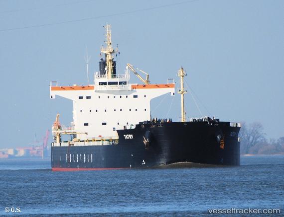
Vessel Tatry IMO: 9582960, MMSI: 636015818 Bulk Carrier
UTC, 46.95333, -138.86333, course: -1, speed: 11
UTC, 46.95333, -138.86333, course: -1, speed: 11
2026-03-04 16:05:09 UTC, 46.95333, -138.86333, course: -1, speed: 11
Live Vessel Tatry Analytics (details, animations, etc.)
Live AIS position: UTC. 176 nm NW of Primorsky Krai), updated 2026-03-04 16:05:09 UTC.Find the position of the vessel Tatry on the map. The latter are known coordinates and path.
marine traffic ship tracker show on live map
The current position of vessel Tatry is 46.95333 lat / -138.86333 lng. Updated: 2026-03-04 16:05:09 UTCCurrently sailing under the flag of Liberia
Tatry built in 2013 year
Deadweight:
82138 tDetails:
Last coordinates of the vessel:
UTC, 46.95669, -138.92915, course: 95, speed: 12.5UTC, 46.95333, -138.86333, course: -1, speed: 11
UTC, 46.95333, -138.86333, course: -1, speed: 11
2026-03-04 16:05:09 UTC, 46.95333, -138.86333, course: -1, speed: 11