 vesseltracker.com
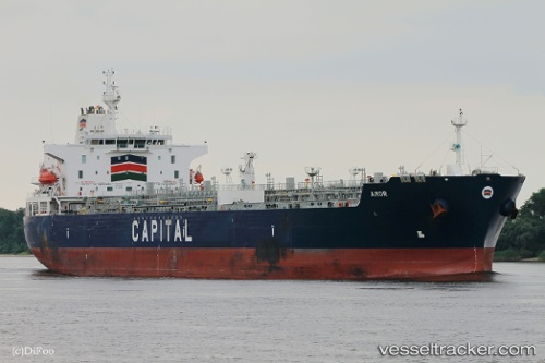
Vessel Amor IMO: 9700471, MMSI: 636016946 Chemical Oil Products Tanker
UTC, -25.42241, 111.07694, course: 341, speed: 13.5
UTC, -25.42241, 111.07694, course: 341, speed: 13.5
2026-03-04 21:40:57 UTC, -24.19875, 110.58399, course: -1, speed: 13.9
Live Vessel Amor Analytics (details, animations, etc.)
Live AIS position: UTC. 186 nm W of Coral Bay), updated 2026-03-04 21:40:57 UTC.Find the position of the vessel Amor on the map. The latter are known coordinates and path.
marine traffic ship tracker show on live map
The current position of vessel Amor is -24.19875 lat / 110.58399 lng. Updated: 2026-03-04 21:40:57 UTCCurrently sailing under the flag of Liberia
Details:
Last coordinates of the vessel:
UTC, -25.55198, 111.12695, course: 340, speed: 13.7UTC, -25.42241, 111.07694, course: 341, speed: 13.5
UTC, -25.42241, 111.07694, course: 341, speed: 13.5
2026-03-04 21:40:57 UTC, -24.19875, 110.58399, course: -1, speed: 13.9