 vesseltracker.com
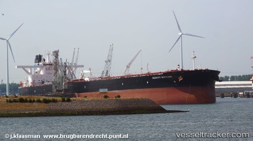
Vessel Dominica IMO: 9723069, MMSI: 636018890 Crude Oil Tanker
UTC, 28.29167, 125.50833, course: -1, speed: 11
UTC, 28.02500, 125.30667, course: -1, speed: 11
2026-03-05 03:22:22 UTC, 27.76667, 125.15500, course: -1, speed: 11
Live Vessel Dominica Analytics (details, animations, etc.)
Live AIS position: UTC. 118 nm NW of Kumejima), updated 2026-03-05 03:22:22 UTC.Find the position of the vessel Dominica on the map. The latter are known coordinates and path.
marine traffic ship tracker show on live map
The current position of vessel Dominica is 27.76667 lat / 125.15500 lng. Updated: 2026-03-05 03:22:22 UTCCurrently sailing under the flag of Liberia
Details:
Last coordinates of the vessel:
UTC, 29.25166, 125.99141, course: 209, speed: 12.8UTC, 28.29167, 125.50833, course: -1, speed: 11
UTC, 28.02500, 125.30667, course: -1, speed: 11
2026-03-05 03:22:22 UTC, 27.76667, 125.15500, course: -1, speed: 11