 vesseltracker.com
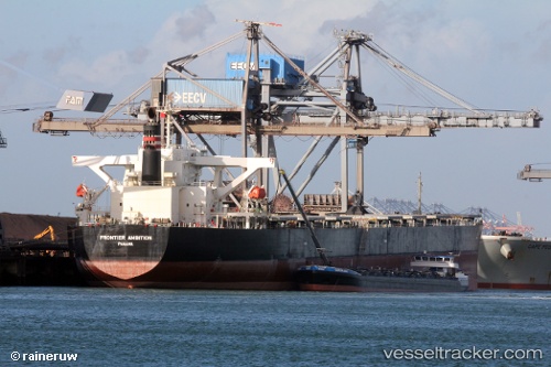
Vessel Cape Condor IMO: 9560390, MMSI: 636019020 Bulk Carrier
UTC, -15.05025, 2.35533, course: 323, speed: 11.8
UTC, -15.05025, 2.35533, course: 323, speed: 11.8
2026-03-04 22:21:18 UTC, -14.07651, 1.62125, course: 323, speed: 11.6
Live Vessel Cape Condor Analytics (details, animations, etc.)
Live AIS position: UTC. Open sea (no nearby ports in database)), updated 2026-03-04 22:21:18 UTC.Find the position of the vessel Cape Condor on the map. The latter are known coordinates and path.
marine traffic ship tracker show on live map
The current position of vessel Cape Condor is -14.07651 lat / 1.62125 lng. Updated: 2026-03-04 22:21:18 UTCCurrently sailing under the flag of Liberia
Cape Condor built in 2010 year
Deadweight:
180253 tDetails:
Last coordinates of the vessel:
UTC, -15.05025, 2.35533, course: 323, speed: 11.8UTC, -15.05025, 2.35533, course: 323, speed: 11.8
UTC, -15.05025, 2.35533, course: 323, speed: 11.8
2026-03-04 22:21:18 UTC, -14.07651, 1.62125, course: 323, speed: 11.6