 vesseltracker.com
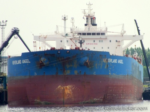
Vessel Elandra Angel IMO: 9413688, MMSI: 636019327 Crude Oil Tanker
UTC, 21.50437, -17.58063, course: 174, speed: 13
UTC, 21.11882, -17.76281, course: 193, speed: 12.4
2026-03-05 08:33:21 UTC, 20.52822, -17.95558, course: 177, speed: 11.4
Live Vessel Elandra Angel Analytics (details, animations, etc.)
Live AIS position: UTC. 50 nm W of Port Etienne), updated 2026-03-05 08:33:21 UTC.Find the position of the vessel Elandra Angel on the map. The latter are known coordinates and path.
marine traffic ship tracker show on live map
The current position of vessel Elandra Angel is 20.52822 lat / -17.95558 lng. Updated: 2026-03-05 08:33:21 UTCCurrently sailing under the flag of Liberia
Elandra Angel built in 2009 year
Deadweight:
115949 tDetails:
Last coordinates of the vessel:
UTC, 21.69322, -17.55460, course: 193, speed: 13.1UTC, 21.50437, -17.58063, course: 174, speed: 13
UTC, 21.11882, -17.76281, course: 193, speed: 12.4
2026-03-05 08:33:21 UTC, 20.52822, -17.95558, course: 177, speed: 11.4