 vesseltracker.com
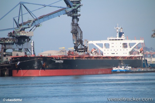
Vessel STAR PAULINE IMO: 9479890, MMSI: 636019668 Bulk Carrier
UTC, 17.51460, 40.00528, course: -1, speed: 13.1
UTC, 17.19986, 40.22602, course: -1, speed: 13
2026-03-04 22:16:43 UTC, 16.72075, 40.55127, course: -1, speed: 13.5
Live Vessel STAR PAULINE Analytics (details, animations, etc.)
Live AIS position: UTC. 91 nm NE of Mitsiwa), updated 2026-03-04 22:16:43 UTC.Find the position of the vessel STAR PAULINE on the map. The latter are known coordinates and path.
marine traffic ship tracker show on live map
The current position of vessel STAR PAULINE is 16.72075 lat / 40.55127 lng. Updated: 2026-03-04 22:16:43 UTCCurrently sailing under the flag of Liberia
STAR PAULINE built in 2008 year
Deadweight:
180274 tDetails:
Last coordinates of the vessel:
UTC, 17.53805, 39.98927, course: -1, speed: 12.8UTC, 17.51460, 40.00528, course: -1, speed: 13.1
UTC, 17.19986, 40.22602, course: -1, speed: 13
2026-03-04 22:16:43 UTC, 16.72075, 40.55127, course: -1, speed: 13.5