 vesseltracker.com
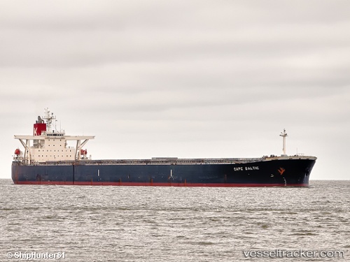
Vessel GOODSHIP IMO: 9311476, MMSI: 636020111 Bulk Carrier
UTC, 21.64333, 121.16167, course: -1, speed: 11
UTC, 22.18667, 121.38500, course: -1, speed: 11
2026-03-05 06:14:21 UTC, 22.61722, 121.61284, course: 16, speed: 12
Live Vessel GOODSHIP Analytics (details, animations, etc.)
Live AIS position: UTC. 72 nm E of Kaohsiung), updated 2026-03-05 06:14:21 UTC.Find the position of the vessel GOODSHIP on the map. The latter are known coordinates and path.
marine traffic ship tracker show on live map
The current position of vessel GOODSHIP is 22.61722 lat / 121.61284 lng. Updated: 2026-03-05 06:14:21 UTCCurrently sailing under the flag of Liberia
GOODSHIP built in 2005 year
Deadweight:
177536 tDetails:
Last coordinates of the vessel:
UTC, 21.64333, 121.16167, course: -1, speed: 11UTC, 21.64333, 121.16167, course: -1, speed: 11
UTC, 22.18667, 121.38500, course: -1, speed: 11
2026-03-05 06:14:21 UTC, 22.61722, 121.61284, course: 16, speed: 12