 vesseltracker.com
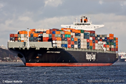
Vessel C HAMBURG IMO: 9450375, MMSI: 636020327 Container Ship
UTC, 38.72833, -71.03500, course: -1, speed: 14
UTC, 38.97500, -71.39833, course: -1, speed: 14
2026-03-05 05:25:56 UTC, 39.25683, -71.80971, course: 312, speed: 14.1
Live Vessel C HAMBURG Analytics (details, animations, etc.)
Live AIS position: UTC. 57 nm S of Offshore Ambrose), updated 2026-03-05 05:25:56 UTC.Find the position of the vessel C HAMBURG on the map. The latter are known coordinates and path.
marine traffic ship tracker show on live map
The current position of vessel C HAMBURG is 39.25683 lat / -71.80971 lng. Updated: 2026-03-05 05:25:56 UTCCurrently sailing under the flag of Liberia
C HAMBURG built in 2009 year
Deadweight:
103845 tDetails:
Last coordinates of the vessel:
UTC, 38.41000, -70.56333, course: -1, speed: 13UTC, 38.72833, -71.03500, course: -1, speed: 14
UTC, 38.97500, -71.39833, course: -1, speed: 14
2026-03-05 05:25:56 UTC, 39.25683, -71.80971, course: 312, speed: 14.1