 vesseltracker.com
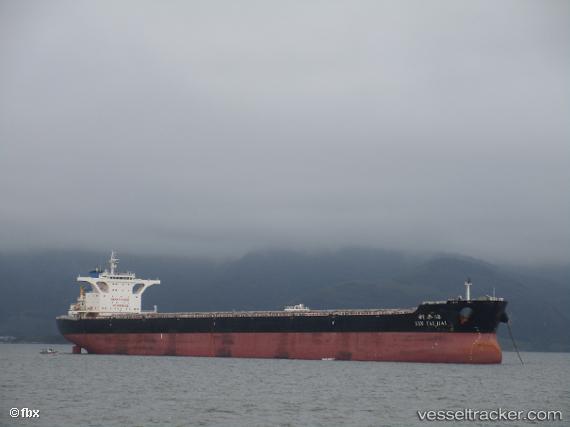
Vessel BERGE NANGA PARBAT IMO: 9578622, MMSI: 636020749 Bulk Carrier
UTC, -20.38084, 116.62690, course: 111, speed: 0
UTC, -20.38167, 116.62667, course: -1, speed: 0
2026-03-05 07:39:56 UTC, -20.38167, 116.62500, course: -1, speed: 0
Live Vessel BERGE NANGA PARBAT Analytics (details, animations, etc.)
Live AIS position: UTC. 15 nm NW of Burrup), updated 2026-03-05 07:39:56 UTC.Find the position of the vessel BERGE NANGA PARBAT on the map. The latter are known coordinates and path.
marine traffic ship tracker show on live map
The current position of vessel BERGE NANGA PARBAT is -20.38167 lat / 116.62500 lng. Updated: 2026-03-05 07:39:56 UTCCurrently sailing under the flag of Liberia
BERGE NANGA PARBAT built in 2011 year
Deadweight:
180346 tDetails:
Last coordinates of the vessel:
UTC, -20.38049, 116.63105, course: 197, speed: 0.1UTC, -20.38084, 116.62690, course: 111, speed: 0
UTC, -20.38167, 116.62667, course: -1, speed: 0
2026-03-05 07:39:56 UTC, -20.38167, 116.62500, course: -1, speed: 0