 vesseltracker.com
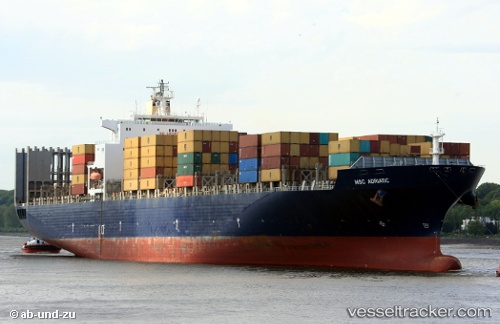
Vessel GSL MELITA IMO: 9214226, MMSI: 636020774 Container Ship
UTC, -3.43018, 146.10132, course: 323, speed: 13.3
UTC, -3.43018, 146.10132, course: 323, speed: 13.3
2026-03-04 16:05:03 UTC, -3.43018, 146.10132, course: 323, speed: 13.3
Live Vessel GSL MELITA Analytics (details, animations, etc.)
Live AIS position: UTC. 73 nm N of Karkar Is), updated 2026-03-04 16:05:03 UTC.Find the position of the vessel GSL MELITA on the map. The latter are known coordinates and path.
marine traffic ship tracker show on live map
The current position of vessel GSL MELITA is -3.43018 lat / 146.10132 lng. Updated: 2026-03-04 16:05:03 UTCCurrently sailing under the flag of Liberia
GSL MELITA built in 2001 year
Deadweight:
67591 tDetails:
Last coordinates of the vessel:
UTC, -3.55965, 146.18979, course: 324, speed: 13.2UTC, -3.43018, 146.10132, course: 323, speed: 13.3
UTC, -3.43018, 146.10132, course: 323, speed: 13.3
2026-03-04 16:05:03 UTC, -3.43018, 146.10132, course: 323, speed: 13.3