 vesseltracker.com
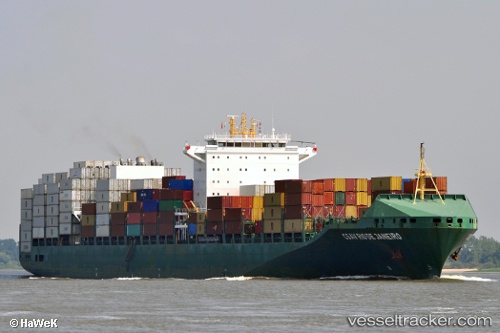
Vessel GSL KITHIRA IMO: 9407885, MMSI: 636020983 Container Ship
UTC, 22.29016, 146.42937, course: 332, speed: 16.3
UTC, 22.98094, 146.04251, course: 332, speed: 16.6
2026-03-05 04:12:22 UTC, 23.43257, 145.79591, course: 339, speed: 17
Live Vessel GSL KITHIRA Analytics (details, animations, etc.)
Live AIS position: UTC. 294 nm SE of Omura), updated 2026-03-05 04:12:22 UTC.Find the position of the vessel GSL KITHIRA on the map. The latter are known coordinates and path.
marine traffic ship tracker show on live map
The current position of vessel GSL KITHIRA is 23.43257 lat / 145.79591 lng. Updated: 2026-03-05 04:12:22 UTCCurrently sailing under the flag of Liberia
GSL KITHIRA built in 2009 year
Deadweight:
65550 tDetails:
Last coordinates of the vessel:
UTC, 20.33814, 147.36571, course: 344, speed: 17.1UTC, 22.29016, 146.42937, course: 332, speed: 16.3
UTC, 22.98094, 146.04251, course: 332, speed: 16.6
2026-03-05 04:12:22 UTC, 23.43257, 145.79591, course: 339, speed: 17