 vesseltracker.com
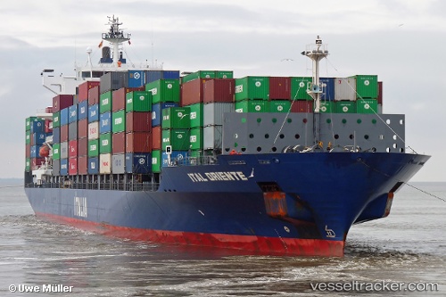
Vessel ARCHER IMO: 9338058, MMSI: 636020992 Container Ship
UTC, 1.20696, 103.87631, course: 244, speed: 8.6
UTC, 1.19106, 103.62571, course: 287, speed: 6.8
2026-03-05 03:54:53 UTC, 1.24756, 103.54155, course: 8, speed: 12.4
Live Vessel ARCHER Analytics (details, animations, etc.)
Live AIS position: UTC. Near TANJUNG PELEPAS), updated 2026-03-05 03:54:53 UTC.Find the position of the vessel ARCHER on the map. The latter are known coordinates and path.
marine traffic ship tracker show on live map
The current position of vessel ARCHER is 1.24756 lat / 103.54155 lng. Updated: 2026-03-05 03:54:53 UTCCurrently sailing under the flag of Liberia
ARCHER built in 2007 year
Deadweight:
39269 tDetails:
Last coordinates of the vessel:
UTC, 1.28428, 104.16970, course: 256, speed: 11.7UTC, 1.20696, 103.87631, course: 244, speed: 8.6
UTC, 1.19106, 103.62571, course: 287, speed: 6.8
2026-03-05 03:54:53 UTC, 1.24756, 103.54155, course: 8, speed: 12.4