 vesseltracker.com
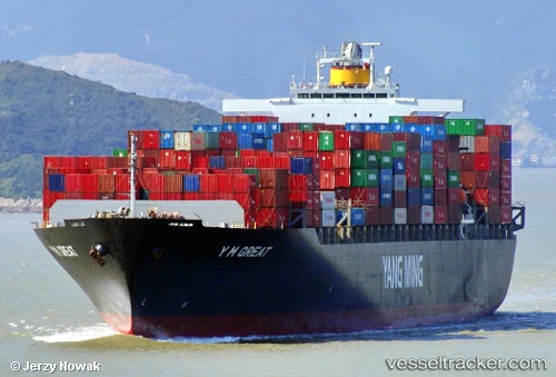
Vessel TINA I IMO: 9267156, MMSI: 636021360 Container Ship
UTC, 35.95103, 120.86638, course: 270, speed: 10.5
UTC, 35.97710, 120.61372, course: 279, speed: 9.4
2026-03-05 05:24:24 UTC, 36.01650, 120.22772, course: 233, speed: 7
Live Vessel TINA I Analytics (details, animations, etc.)
Live AIS position: UTC. Near Xianlang), updated 2026-03-05 05:24:24 UTC.Find the position of the vessel TINA I on the map. The latter are known coordinates and path.
marine traffic ship tracker show on live map
The current position of vessel TINA I is 36.01650 lat / 120.22772 lng. Updated: 2026-03-05 05:24:24 UTCCurrently sailing under the flag of Liberia
TINA I built in 2004 year
Deadweight:
67270 tDetails:
Last coordinates of the vessel:
UTC, 35.92825, 121.26067, course: 290, speed: 11.9UTC, 35.95103, 120.86638, course: 270, speed: 10.5
UTC, 35.97710, 120.61372, course: 279, speed: 9.4
2026-03-05 05:24:24 UTC, 36.01650, 120.22772, course: 233, speed: 7