 vesseltracker.com
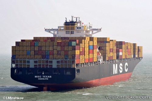
Vessel CONTI MAKALU IMO: 9286243, MMSI: 636092927 Container Ship
UTC, 13.32304, -38.35500, course: 313, speed: 19
UTC, 13.89964, -39.03652, course: 314, speed: 19.1
2026-03-04 23:26:02 UTC, 14.16981, -39.35079, course: 313, speed: 19
Live Vessel CONTI MAKALU Analytics (details, animations, etc.)
Live AIS position: UTC. Open sea (no nearby ports in database)), updated 2026-03-04 23:26:02 UTC.Find the position of the vessel CONTI MAKALU on the map. The latter are known coordinates and path.
marine traffic ship tracker show on live map
The current position of vessel CONTI MAKALU is 14.16981 lat / -39.35079 lng. Updated: 2026-03-04 23:26:02 UTCCurrently sailing under the flag of Liberia
CONTI MAKALU built in 2004 year
Deadweight:
101898 tDetails:
Last coordinates of the vessel:
UTC, 13.11217, -38.11539, course: 315, speed: 19UTC, 13.32304, -38.35500, course: 313, speed: 19
UTC, 13.89964, -39.03652, course: 314, speed: 19.1
2026-03-04 23:26:02 UTC, 14.16981, -39.35079, course: 313, speed: 19