 vesseltracker.com
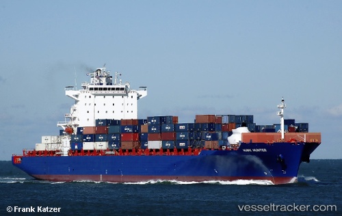
Vessel BSG BAHAMAS IMO: 9439498, MMSI: 636093031 Container Ship
UTC, 37.12801, -76.13706, course: 332, speed: 17.1
UTC, 37.56699, -76.04266, course: 328, speed: 18.7
2026-03-05 01:54:38 UTC, 38.29711, -76.29077, course: 340, speed: 19.6
Live Vessel BSG BAHAMAS Analytics (details, animations, etc.)
Live AIS position: UTC. Near Cove Point), updated 2026-03-05 01:54:38 UTC.Find the position of the vessel BSG BAHAMAS on the map. The latter are known coordinates and path.
marine traffic ship tracker show on live map
The current position of vessel BSG BAHAMAS is 38.29711 lat / -76.29077 lng. Updated: 2026-03-05 01:54:38 UTCCurrently sailing under the flag of Liberia
BSG BAHAMAS built in 2009 year
Deadweight:
51744 tDetails:
Last coordinates of the vessel:
UTC, 36.85474, -75.81803, course: 302, speed: 9UTC, 37.12801, -76.13706, course: 332, speed: 17.1
UTC, 37.56699, -76.04266, course: 328, speed: 18.7
2026-03-05 01:54:38 UTC, 38.29711, -76.29077, course: 340, speed: 19.6