 vesseltracker.com
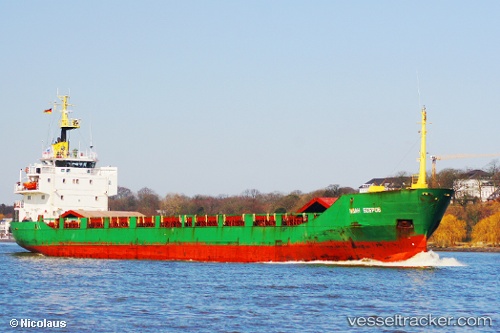
Vessel SKY LIGHT IMO: 7724019, MMSI: 677064500 General Cargo
UTC, 36.48327, 34.69775, course: 179, speed: 8.7
UTC, 36.32614, 34.72793, course: -1, speed: 7.9
2026-02-26 13:25:50 UTC, 36.32614, 34.72793, course: -1, speed: 7.9
Live AIS position:
UTC. 28 nm S of Mersin),
updated 2026-02-26 13:25:50 UTC.
Find the position of the vessel SKY LIGHT on the map. The latter are known coordinates and path.
marine traffic ship tracker show on live map
The current position of vessel SKY LIGHT is 36.32614 lat / 34.72793 lng. Updated: 2026-02-26 13:25:50 UTCCurrently sailing under the flag of Tanzania
Details:
Last coordinates of the vessel:
UTC, 36.76047, 34.65017, course: 240, speed: 0.8UTC, 36.48327, 34.69775, course: 179, speed: 8.7
UTC, 36.32614, 34.72793, course: -1, speed: 7.9
2026-02-26 13:25:50 UTC, 36.32614, 34.72793, course: -1, speed: 7.9