 vesseltracker.com
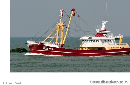
Find the position of the vessel Hd29 Morgenster on the map. The latter are known coordinates and path.
marine traffic ship tracker show on live map
The current position of vessel Hd29 Morgenster is 66.8076 lat / 13.924 lng. Updated: 2025-07-13 20:32:12 UTCCurrently sailing under the flag of Netherlands
Hd29 Morgenster built in 1993 year
Details:
Last coordinates of the vessel:
UTC, 66.8076, 13.924, course: 83, speed: 0UTC, 66.8076, 13.924, course: 83, speed: 0
UTC, 66.8076, 13.924, course: 82, speed: 0
2025-07-13 20:32:12 UTC, 66.8076, 13.924, course: 82, speed: 0