 vesseltracker.com
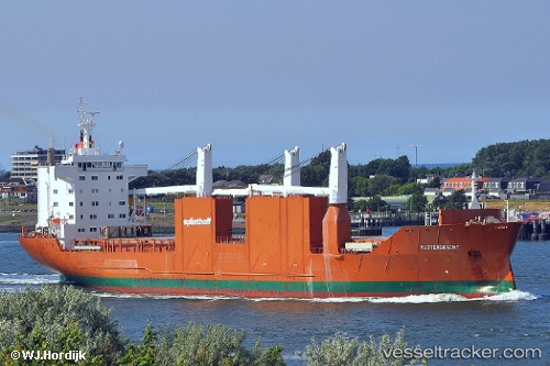
Find the position of the vessel Slotergracht on the map. The latter are known coordinates and path.
marine traffic ship tracker show on live map
The current position of vessel Slotergracht is 61.1265 lat / 21.4366 lng. Updated: 2025-08-17 01:08:59 UTCCurrently sailing under the flag of Netherlands
Slotergracht built in 2000 year
Deadweight:
21402 tDetails:
Last coordinates of the vessel:
UTC, 61.1265, 21.4366, course: 261, speed: 0UTC, 61.1265, 21.4366, course: 261, speed: 0
UTC, 61.1265, 21.4366, course: 262, speed: 0
2025-08-17 01:08:59 UTC, 61.1265, 21.4366, course: 261, speed: 0