 vesseltracker.com
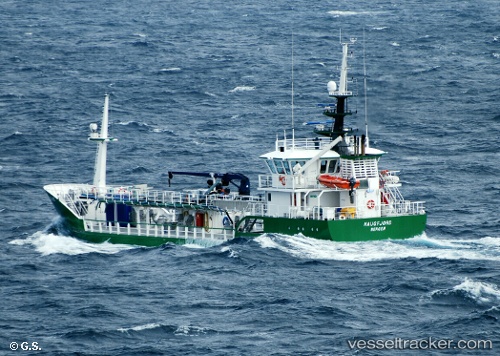
Vessel Haugfjord IMO: 9622198, MMSI: 257008000 Chemical Tanker
UTC, 68.49682, 14.80185, course: 188, speed: 0
UTC, 68.49683, 14.80166, course: 188, speed: 0
2026-01-30 08:12:32 UTC, 68.68509, 15.43143, course: 0, speed: 9.8
Live AIS position:
UTC. Near SORTLAND),
updated 2026-01-30 08:12:32 UTC.
Find the position of the vessel Haugfjord on the map. The latter are known coordinates and path.
marine traffic ship tracker show on live map
The current position of vessel Haugfjord is 68.68509 lat / 15.43143 lng. Updated: 2026-01-30 08:12:32 UTCCurrently sailing under the flag of Norway
Haugfjord built in 2011 year
Deadweight:
630 tDetails:
Last coordinates of the vessel:
UTC, 68.49667, 14.80167, course: -1, speed: 0UTC, 68.49682, 14.80185, course: 188, speed: 0
UTC, 68.49683, 14.80166, course: 188, speed: 0
2026-01-30 08:12:32 UTC, 68.68509, 15.43143, course: 0, speed: 9.8