 vesseltracker.com
Find the position of the vessel Luhnau on the map. The latter are known coordinates and path.
marine traffic ship tracker show on live map
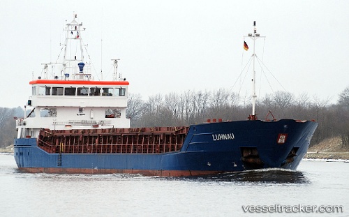
The current position of vessel Luhnau is 57.69199 lat / 11.82327 lng. Updated: 2025-11-12 00:56:05 UTCCurrently sailing under the flag of Antigua Barbuda
Luhnau built in 2007 year
Deadweight:
3720 tDetails:
Last coordinates of the vessel:
UTC, 57.69167, 11.82333, course: -1, speed: 0UTC, 57.69203, 11.82331, course: 191, speed: 0
UTC, 57.69202, 11.82332, course: 191, speed: 0
2025-11-12 00:56:05 UTC, 57.69199, 11.82327, course: 191, speed: 0