 vesseltracker.com
Find the position of the vessel Santorini on the map. The latter are known coordinates and path.
marine traffic ship tracker show on live map
The current position of vessel Santorini is 41.3702 lat / 19.4171 lng. Updated: 2025-06-21 19:31:24 UTCCurrently sailing under the flag of Barbados
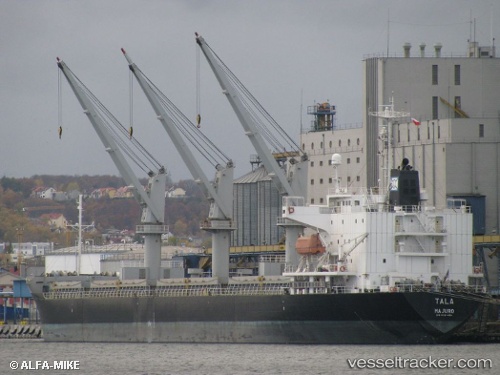
Santorini built in 1998 year
Port of registry:
Bridgetown (capital of Barbados)Deadweight:
24175 tGross tonnage:
15349Service entry:
1998-01-01T00:00:00ZManufacturer:
Kanda Dockyard (shipyard in Japan)Details:
Last coordinates of the vessel:
UTC, 41.3703, 19.4171, course: -1, speed: 0UTC, 41.3703, 19.4171, course: -1, speed: 0
UTC, 41.3702, 19.417, course: -1, speed: 0
2025-06-21 19:31:24 UTC, 41.3702, 19.4171, course: -1, speed: 0