 vesseltracker.com
Find the position of the vessel MEMNUNE K on the map. The latter are known coordinates and path.
marine traffic ship tracker show on live map
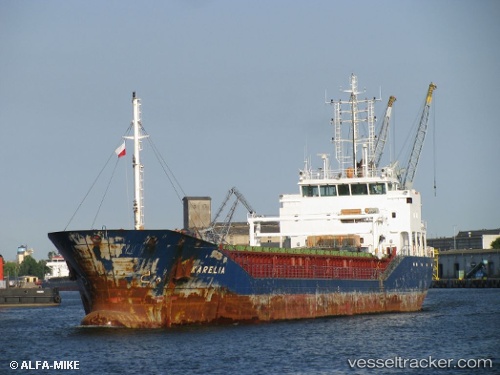
The current position of vessel MEMNUNE K is 42.1652 lat / 41.6085 lng. Updated: 2025-07-04 09:53:30 UTCCurrently sailing under the flag of Barbados
MEMNUNE K built in 2010 year
Port of registry:
Saint John's (capital city of Antigua and Barbuda)Speed:
11.5 knotDeadweight:
4487 tPayload_mass:
4487.62 tonneGross tonnage:
2997Service entry:
2010-01-01T00:00:00ZDetails:
Last coordinates of the vessel:
UTC, 42.1652, 41.6081, course: 191, speed: 0UTC, 42.1652, 41.6081, course: 188, speed: 0
UTC, 42.1652, 41.6083, course: 194, speed: 0
2025-07-04 09:53:30 UTC, 42.1652, 41.6085, course: 193, speed: 0.2