 vesseltracker.com
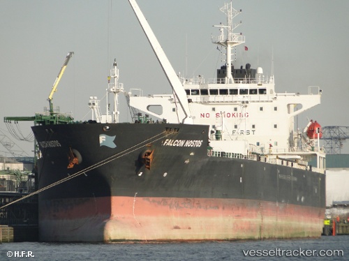
Find the position of the vessel CERS on the map. The latter are known coordinates and path.
marine traffic ship tracker show on live map
The current position of vessel CERS is 44.7102 lat / 37.8388 lng. Updated: 2025-05-31 05:23:35 UTCCurrently sailing under the flag of Panama
CERS built in 0 year
Port of registry:
Monrovia (capital city of Liberia)Deadweight:
0 tService entry:
2006-01-01T00:00:00ZDetails:
Last coordinates of the vessel:
UTC, 44.7102, 37.8389, course: 263, speed: 0UTC, 44.7102, 37.8388, course: 263, speed: 0
UTC, 44.7102, 37.8388, course: 262, speed: 0
2025-05-31 05:23:35 UTC, 44.7102, 37.8388, course: 264, speed: 0